المدة الزمنية 5900
Drawing Mali Map
تم نشره في 2023/06/06
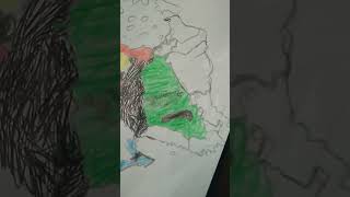
How to Draw Map of Mali. Mali officially the Republic of Mali, is a landlocked country in West Africa. Mali is the eighth-largest country in Africa, with an area of over 1,240,000 square kilometres (480,000 sq mi). The population of Mali is 21.9 million. 67% of its population was estimated to be under the age of 25 in 2017. Its capital and largest city is Bamako. The sovereign state of Mali consists of eight regions and its borders on the north reach deep into the middle of the Sahara Desert. The country's southern part is in the Sudanian savanna, where the majority of inhabitants live, and both the Niger and Senegal rivers pass through. The country's economy centres on agriculture and mining. One of Mali's most prominent natural resources is gold, and the country is the third largest producer of gold on the African continent. It also exports salt. #ranggidrawing #africa #Mali
الفئة
عرض المزيد


تعليقات - 1
مقاطع الفيديو ذات الصلة على Drawing Mali Map: